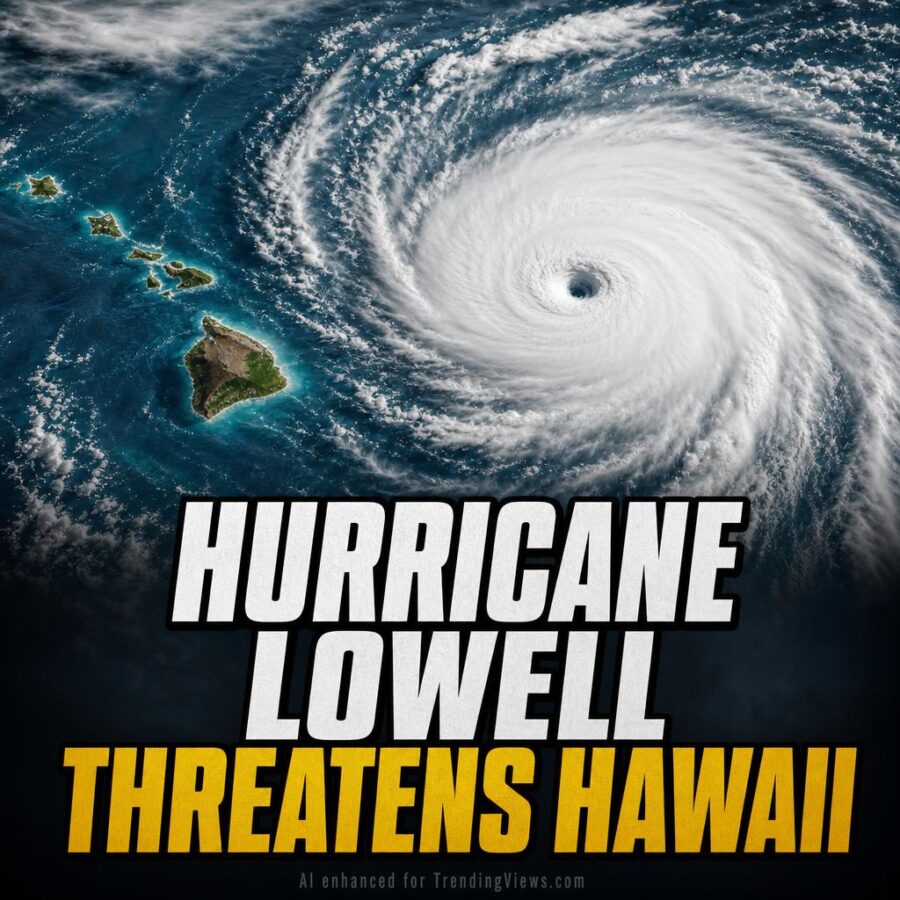
Hurricane Lowell is bearing down on Hawaii’s western islands as a Category 3 storm packing 115 mph winds.
The National Hurricane Center has Lowell on a north-northeastward to northward track, picking up speed through Tuesday. The storm’s core is expected to pass near or just west of Niihau by Monday night and into early Tuesday morning before turning northwest and slowing around early Wednesday.
Gradual weakening is forecast, but Lowell is expected to hold hurricane strength through its closest approach to the islands. Hurricane-force winds reach 60 miles out from the center. Tropical storm-force winds extend up to 175 miles.
Special offer for our readers:
Stop Throwing Out Money: Pay No Interest Until 2027
A Hurricane Warning is currently in effect for Kauai County, covering both Kauai and Niihau, along with portions of the Papahanaumokuakea Marine National Monument. A Tropical Storm Warning for Oahu was issued Monday morning, following repeated eastward shifts in the official forecast track.
As originally reported, some of the better-performing forecast models, including HCCA and GDMI, have been running along the eastern edge of the guidance range. Further eastward shifts could push the storm’s core closer to densely populated islands, though the official forecast still places the center west of Niihau.
Rainfall will be a serious concern across the state. Kauai is forecast to receive six to 10 inches of rain, with isolated totals possibly reaching 16 inches. Oahu and Maui County can expect four to eight inches, with isolated amounts up to 10 inches. The Big Island faces four to eight inches, with isolated totals possibly hitting 12 inches. Flash flooding and mudslides are a significant risk, especially on Kauai and parts of the Big Island.
Storm surge between two and four feet is possible along the south coast of Kauai and Niihau. Oahu could see surge of up to one foot. Dangerous surf and rip currents pose a life-threatening risk statewide. Tornadoes are also possible near Kauai and Niihau.
Lowell’s effects are already being felt. Rainbands have spread over Kauai and Oahu, triggering flash flooding on Oahu, including along Kamehameha Highway north of Waikane. High surf has hit south and west-facing shorelines across the islands. A statewide flood watch remains active through Tuesday afternoon, alongside high-surf warnings and advisories in multiple areas.
Residents in affected counties have been urged to take shelter, secure property, and avoid flood-prone roads. The storm’s track and intensity will continue to be closely watched as Lowell makes its closest pass at the island chain.